
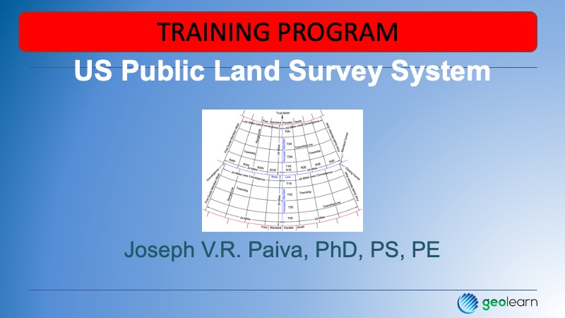
This is an introductory free course to the general concepts that begin the development and creation of the U.S. Public Land System. It is a helpful inquiry into the system for those preparing for the NCEES exams. It should be noted for those considering the practice of land surveying, if it is a“public lands” state, much more local information will be required, and of much greater complexity, as there are sometimes major and sometimes minor deviations from the description included here. The general concepts of the initial point, principal meridian, baseline, standard parallels, guide meridians, township, and range lines are covered here. In the extended version, we cover details of so-called “double corners” and the specifics of how the townships were broken down into sections. Running time 21 minutes.
You will learn…
- A little bit of the history and development of the U.S. Public Land Survey System (USPLSS)
- The basic structure from the initial point to standard parallels and guide meridians
- A glimpse into how the range lines and township lines were laid out.
